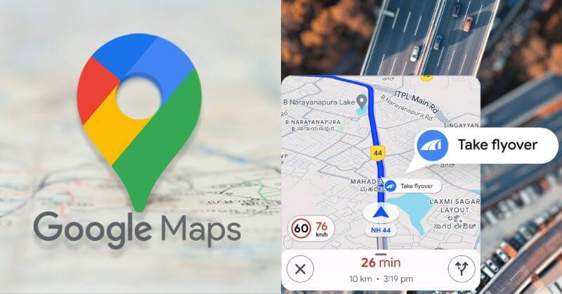
Google Maps has been upgraded to accommodate new features to improve the navigating experience and locate electric vehicle (EV) charging stations. On Thursday, Google unveiled new capabilities for its mobile apps. These will help users prepare for forthcoming flyovers, and assist four-wheeler drivers in navigating smaller roads. Further, it will allow EV drivers to find the nearest charging station. Meanwhile, users may order metro tickets through the Google Maps app, and reporting road incidents has been improved.
Google Maps Updated With Flyover Callouts
Here are the latest updates coming to Google Maps, along with instructions on how they operate and when they will be available in your city.
Google Maps Flyover Callouts Feature
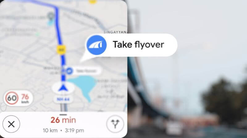
A new flyover callouts feature has been added to Google Maps to assist users in preparing for oncoming flyovers when driving in city traffic. The feature is intended to reduce the need for drivers in new areas to decide whether to use a flyover or the road below.
The new flyover callouts function should be available to users of Android smartphones and Android Auto devices as early as this week. Initially, it will be limited to 40 cities across the nation. These callouts would appear on navigation routes for both two-wheelers and four-wheelers. Users of iOS and CarPlay will have to be patient as the feature has no set date of arrival for these platforms.
Google Maps: EV Charging Station Locations
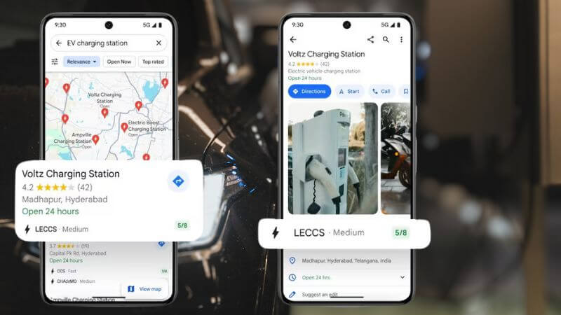
Information about EV charging stations across the US is now shown on Google Maps. The company’s search results will also include this information. Along with real-time availability information, drivers will be able to see which plug types can be used at the charging station. Further, they will also have to see whether it is open.
To gather pertinent data for more than 8,000 charging stations across the nation, the company has teamed up with four EV charging providers. These are Ather, ElectricPe, Kazam, and Statiq. Additionally, this is the first time that Google has provided information on EV charging stations for motorcycles worldwide. It is anticipated that the organization will provide more availability-related information in the future.
AI-Powered Estimation Of Narrow Roads
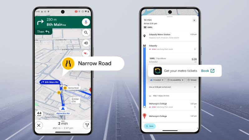
Four-wheeler users will be alerted to the danger of clogged roads by Google’s new AI-powered navigation tool. These will estimate the width of smaller roadways. The company claims to have created an AI model that can recognize tiny roads by utilizing data from sources like Street View, known building distances, information about particular roads, satellite pictures, and even footpaths.
When feasible, Google Maps should be capable of assisting four-wheeler drivers in choosing less busy routes. These will happen by alerting users to limited roads ahead of time. Users in Bengaluru, Bhopal, Bhubaneswar, Chennai, Coimbatore, Hyderabad, Indore, Guwahati, and Bhopal are beginning to receive updates for their Android devices with the new narrow road estimation capability. Later on, support for iOS devices and additional cities will be added.
Google Maps For Booking Metro Tickets

Google Maps will allow travelers to purchase metro tickets. The business has worked with Namma Yatri and ONDC to provide this feature on its navigation app. The company claims that users can purchase tickets while riding the metro in Kochi and Chennai.
Users will notice a booking option when using the Google Maps app to check public transportation directions in these locations. This feature enables users to choose the details of their travel and pay for it directly from the app. This will do away with the need to wait in line for a ticket at the station.
Selected Lists And Streamlined Road Incident Procedures
Google said earlier this year that it is simplifying the process for users to obtain curated lists and recommendations. It is also offering more collaborative alternatives, such as the opportunity to add ideas and itinerary details through the lists feature. The company announced on Thursday that consumers in India can now access these functionalities as well. Emoji reactions to recommendations are another feature of Maps that may facilitate consensus-building while organizing travel.
Additionally, Google Maps has enhanced road incident reporting. This has simplified the procedure of reporting an accident or construction work on a road. This will result in less time spent staring at the computer. In contrast to the features for flyover callouts and tight roads, the enhanced process for reporting road incidents is accessible on all mobile and car platforms.
Follow Us: Facebook | Instagram | X |


